
Envision Tomorrow Sample Dataset
The Envision Tomorrow user guide provides a detailed, step-by-step guide to setting up an Envision Tomorrow GIS featureclass, building prototypes, and scenario spreadsheet. The following page provides an overview of a sample dataset from Bend, Oregon complete with all the necessary fields for ET and its analysis tools. Users can download this sample to get a sense for how GIS data and ET spreadsheets should be structured to facilitate scenario creation.
Dataset Contents
The sample dataset, downloadable from the link above, includes the three things a user needs to run ET scenarios: a calibrated GIS layer (featureclass), building prototypes, and a scenario spreadsheet. Once downloaded, unzip the package to your local hard drive. The zipped directory should contain the following files and sub folders:
- GIS Layer
- Bend_SampleDataset_ET_102316.gdb - geodatabase containing 5 identical scenario featureclasses
- Prototype Library
- 10 prototype spreadsheets - see prototypes section below
- Scenario Spreadsheet
- Bend_SampleDataset_ET_ScenarioBuilder_v3.7.5 - see scenario spreadsheet section below
Calibrated GIS Layer (Featureclass)
The sample dataset includes a relatively small subset of parcels from the City of Bend, Oregon. This small area, comprised of less than 20,000 polygons, will run quickly on most modern computers. Larger datasets of up to 1 million features can be used with ET, but processing times may suffer. It is recommended that scenario layers be broken down into datsets of 200,000 polygons or less. Note that this sample is an example of 'hybrid' scenario geography as it includes both platted parcels and grid cells. For the purposes of this example, larger parcels and areas outside existing municipal boundaries were divided into 3.5 acre grid cells.

Sample ET GIS Layer - Bend, Oregon (~16,000 polygons)
GIS Data 'Tiers'
In order to use Envision Tomorrow's core painting functionality, relatively few GIS attributes are required. As more indicators and analysis tools are introduced, more data is required. The following section provides a review of the feature attributes in the Bend sample dataset and their respective uses.
Tier 1: Envision Tomorrow Basics – Required for basic indicators related to new development only.
- DEVD_ACRE - Count of developed acreage within the polygon
- VAC_ACRE - Count of vacant acreage within the polygon
- CONSTRAINED_ACRE - Count of acreage where development cannot occur within the polygon

Tier 2: Existing Land Use and Development – Required for basic indicators related to existing, net new, and future total development.
- EX_LU - Existing land use categorization. See user guide for more information.
- EX_POP - Existing population residing within polygon
- EX_SCL_CHLDRN - Existing school children residing in polygon (optional)
- EX_HH - Existing households within polygon
- EX_HU - Existing housing units within polygon
- EX_SF - Existing single family units within polygon
- EX_SF_LRG* - Existing large single family units within polygon
- EX_SF_MD* - Existing medium or standard single family units within polygon
- EX_SF_SM* - Existing small single family units within polygon
- EX_TH - Existing townhomes or duplexes within polygon
- EX_MF - Existing multifamily units within polygon
- EX_MH - Existing mobile home units within polygon
- EX_HOTEL_RM - Existing hotel rooms within polygon (optional)
- EX_EMP - Existing employment within polygon. For list of ET employment categories, see user guide
- EX_RET - Existing retail employees within polygon
- EX_OFF - Existing office employees within polygon
- EX_IND - Existing industrial employees within polygon
- EX_PUB - Existing public or civic employees within polygon
- EX_EDU - Existing educational employees within polygon
- EX_HOTEL - Existing hotel employees within polygon
- EX_UTIL - Existing utility-related employees within polygon
- EX_PRKG - Existing commercial parking related employees within polygon
- EX_AG - Existing agricultural employees within polygon
*There is no definitive standard to distinguish between “small lot” and “large lot” single family. Local norms can be quite different from place to place.

Tier 3: Value – Required for tax revenue and fiscal indicator
- EX_LAND_VAL – Existing land value
- EX_COM_VAL – Existing commercial improvement value
- EX_RES_VAL – Existing residential improvement value

Tier 4: Existing Buildings – Required for redevelopment timing (no specific field names required.)
- Building height
- Year built
- FAR
- Gross Leasable Area

Tier 5: Demographics – Required for travel and public health indicators
- EX_AVG_HH_SIZE - Existing average household size within polygon - can be derived from block group level ACS data
- EX_AVG_HH_INC - Existing average household income within polygon - can be derived from block group level ACS data
- EX_AVG_HH_WORKERS - Existing average workers per household within polygon - can be derived from block group level ACS data
- EX_WORKERS – total workers in parcel (based on average hh workers)
- EX_ppl_acre - Existing average people per acre within polygon - can be derived from EX_POP
- EX_EMP_MIX - Existing 5 category employment mix (entropy) - can be derived from Smart Locations Database, field d2b_e5mixa
- EX_Int_Den_Mi - Existing intersection density per square mile (can be derived from local road network)
- EX_Pct_Low_HH_INC - Percent of households classified as low income,$0-$35k(can be derived from ACS)
- EX_Pct_Med_HH_INC - Percent of households classified as middle income, $35k-$100k (can be derived from ACS)
- EX_Pct_Hi_HH_IN - Percent of households classified as high income, $100k + (can be derived from ACS)

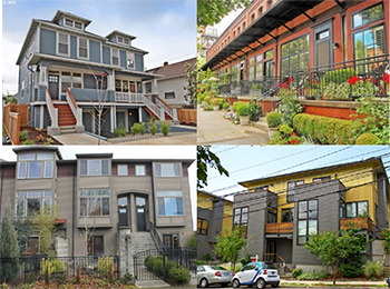
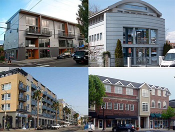
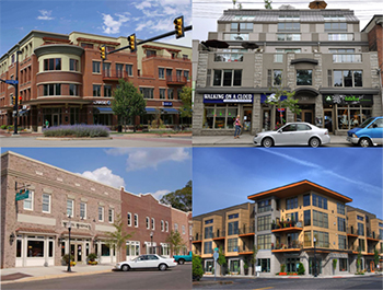
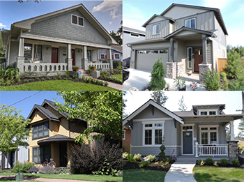
Building Prototypes
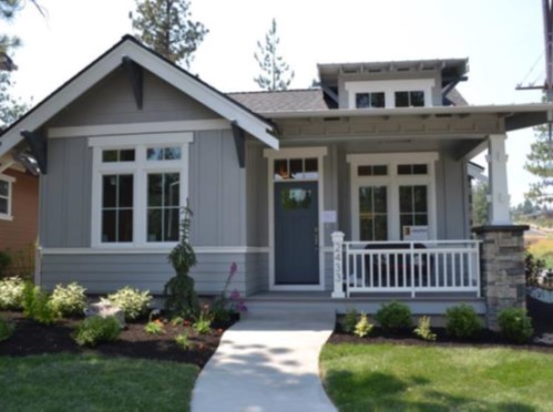
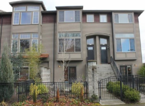
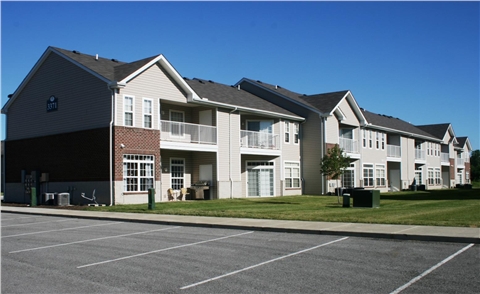
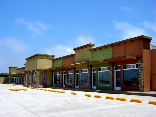
The Bend test dataset includes 10 building prototype spreadsheets, listed below. In a typical Envision Tomorrow project, users should perform some basic market research to identify a range of building prototypes that represent existing and aspirational building types in their region. For more information about developing a prototype library, see the ET user guide.


Scenario Spreadsheet
The scenario spreadsheet included in the Bend sample dataset comes pre-loaded with the above 10 building types.

In addition, 6 development types have already been created using the above 10 prototypes. For more information about creating and calibrating development types, see the ET user guide.
Additional Requirements
In addition to the above mentioned GIS layer, prototype library, and scenario spreadsheet, users should make sure they visit the downloads page for the latest Envision Tomorrow GIS add-in install file. Note: the Bend sample dataset was designed for use with ArcGIS 10.3.1 or 10.4.1.